
International Volvo Photo Locations Part 211


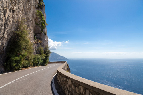
2011 – Volvo C70 on the Via Galea in Porto di Cetara near Strada Statale Amalfitana in Cetara, Italy 🇮🇹.
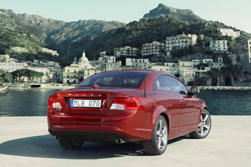
2011 – Volvo C70 on the Via Galea in Porto di Cetara near Strada Statale Amalfitana in Cetara, Italy 🇮🇹.

2016 – Via Galea in Porto di Cetara in Cetara in Italy (Google Streetview)
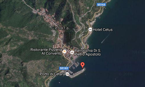
The location of these photos is the Via Galea that stretches from the village into the sea in the Porto di Cetara near Strade Statale Amalfitana in Cetara in Italy, just south of Napoli.
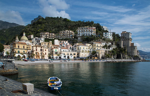
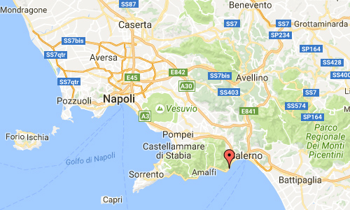
Cetara is a town and comune in the province of Salerno in the Campania region of south-western Italy. It is located in the territory of the Amalfi Coast.
The village was originally a settlement for a group of armed Muslims in 880. Characterized to be a village of fishermen (especially of tuna), its name take origins probably from the Latin word Cetaria (in Greek Ketèia), meaning almadraba (in Italian tonnara); or cetari, meaning fishmongers of big fishes.
2016 – Via Galea in Porto di Cetara in Cetara in Italy
Cetara is located by the Tyrrhenian Sea, on the Amalfi Drive road between the “Marina” of Albori and Erchie, bordering with the municipalities of Vietri sul Mare and Maiori. Its municipalities is extended from the coast to the Mount Falerio and counts only one civil parish (frazione): the little village of Fuenti, situated on the hills close to the Amalfi Drive.
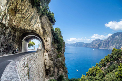
The Amalfi Drive (formally Strada statale 163 Amalfitana) is the conventional name of a stretch of road which runs along the stretch of the Amalfi Coast between the southern Italian towns of Sorrento and Amalfi. The road was originally built by the Romans. The drive between Salerno, at the southern base of the peninsula, and Positano follows the coast for about 80 km.
For the greater part of its route, the road is carved out of the side of the coastal cliffs, giving spectacular views down to the Tyrrhenian Sea and on the other side up to the towering cliffs above. The road passes through the village of Positano, which is built on the side of the hill. Both the village and the whole drive are leading tourist attractions in the area.
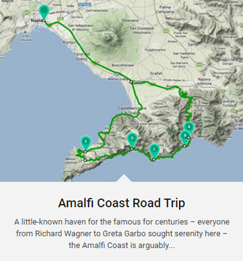
2016 – Amalfi Coast Road Trip (http://magazine.enterprise.co.uk/open-road/road-trip)
The Costiera Amalfitana, or Amalfi Coast, is widely considered Italy’s most scenic stretch of coastline, a landscape of towering bluffs, pastel-hued villages terraced into hillsides, precipitous corniche roads, luxuriant gardens, and expansive vistas over turquoise waters and green-swathed mountains. Deemed by UNESCO “an outstanding example of a Mediterranean landscape, with exceptional cultural and natural scenic values,” the coast was awarded a coveted spot on the World Heritage list in 1997.
The Amalfi Coast lies along the southern flanks of the Sorrento Peninsula, a cliff-edged promontory that wanders out from the mainland at the southern end of the Bay of Naples. Its most famous towns—Amalfi, Positano, and Ravello—have captivated and inspired artists for centuries, from 14th-century writer Giovanni Boccaccio to 19th-century composer Richard Wagner and 20th-century playwright Tennessee Williams.
The roads along the Amalfi Coast are famously winding, narrow, and challenging to drive. Add in drop-dead views and daring Italian drivers, known for their behind-the-wheel bravado, and this road trip offers one of the more exciting driving experiences in Europe. The popular Amalfi Coast route follows the shoreline from Sorrento south to Salerno. Locals recommend planning a drive of the Amalfi Coast during the shoulder tourist seasons, mid-September to October and May, when the road is less crowded and lumbering tour buses are fewer.
More information at it.wikipedia.org, travel.nationalgeographic.com and www.comune.cetara.sa.it.

 Posts
Posts