
Volvo Photo Locations Part 329


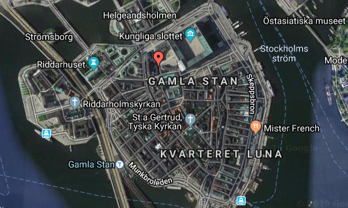
2016 – Volvo S90 at Högvaktsterrassen in Gamla Stan in Stockholm 🇸🇪.
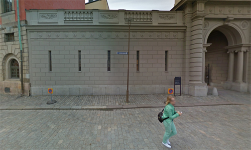
2019 – Högvaktsterrassen in Stockholm (Google Streetview)
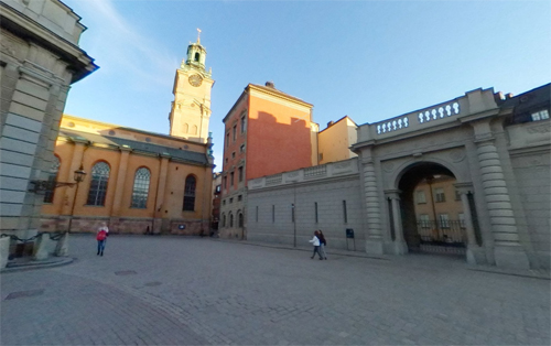
2019 – Högvaktsterrassen in Stockholm (Google Streetview)
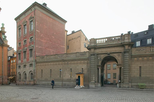
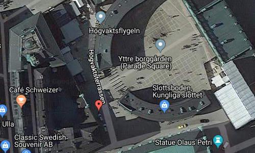
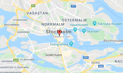
Högvaktsterrassen or “Main Guard Terrace” is a street in Gamla stan, the old town in central Stockholm, Sweden passing west of Yttre Borgården, the outer court of the Stockholm Palace.
The street stretches north from the Stockholm Cathedral at Storkyrkobrinken and ends in a terrace offering a panoramic view of the Riksdag Building, the square Mynttorget and the northern ramp of the palace, Lejonbacken. It is delimited to the east by the two curved western wings of the Royal Palace, and to the west by a state-owned annex composed by the Oxenstierna Palace and Beijer House and serving as offices and the workrooms of the court.
The area north of the cathedral and west of the Medieval palace Tre Kronor (“Three Crowns”), burnt down in 1697, was known as Helvetet (“Hell”). The background of this atrocious name have been subject for some scholarly disputes; some suggesting it reflexes the popular belief the area north of churches were the location of evil (and therefore suitable for suicides and criminals), while other found references in Norse folklore where the “Kingdom of the Dead” was believed to be located to the north, and, ‘Hell’ still not associated with the pejorative meaning of today, was simply used to indicate northern locations in general.
Historical records from the 15th century describes the area as the location for the city’s executioner during the years 1491–1528, and for the city’s school building and the royal mint in the 1430s. Among the numerous alleys once found in the area were many craftsmen’s workshops – shoemakers, saddlers, blacksmiths, bakers, etcetera. On a 16th-century map, the area is taken up by a slope leaning north with a block occupying the location for the present street, a block not present on a map dated 1626, instead suggesting the royal gardens were located here. In 1653, the Chancellor Axel Oxenstierna (1583–1654) started to build his palace still present on the south-western corner of the street, while both his old residence and that of Herman Wrangel (1587–1643) were demolished in the 1740s when the wings of the Main Guard were built.
In 1921, it was suggested the street should be named Kristina Gyllenstiernas skans (“Sconce of. .”) after Christina Gyllenstierna (1494–1559), wife of Sten Sture the Younger (1493–1520), whose statue, found nearby at the time, reminded of her bravely defense of the palace against the Danish army in 1520. However, some discussions concerning the city’s right and need to name the location in the first place, eventually resulted in the present name suggested by the linguist Adolf Noreen (1854–1925).
More information at en.wikipedia.org and folketshusochparker.se.

 Posts
Posts