home

[ Content | Sidebar ]

W Lake Dr in Montauk – USA 🇺🇸

September 13th, 2016

International Volvo Photo Locations Part 228

Click for Volvo Photography Locations Overview

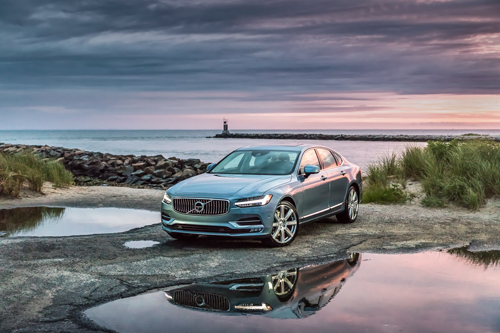
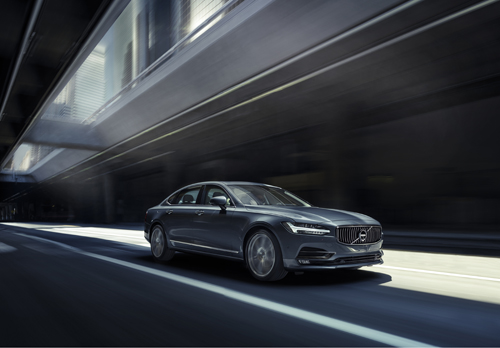
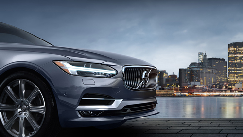
2016 - Volvo S90 at W Lake Dr in Montauk on Long Island, USA

2016 – Volvo S90 at W Lake Dr in Montauk on Long Island, USA 🇺🇸
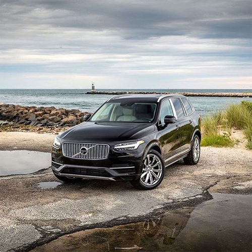
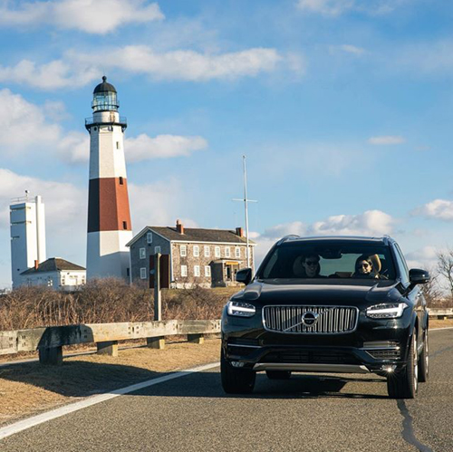
2016 - Volvo XC90 at W Lake Dr in Montauk on Long Island, USA

2016 – Volvo XC90 at W Lake Dr in Montauk on Long Island, USA 🇺🇸
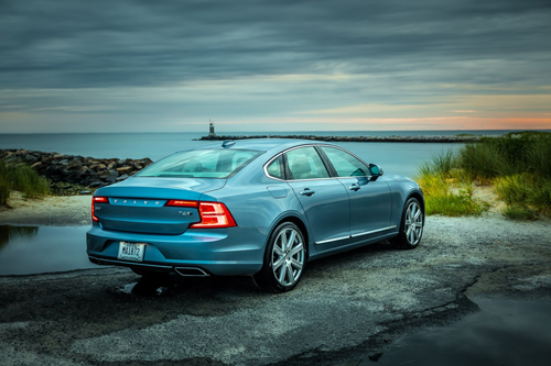
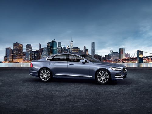
2016 - Volvo S90 at W Lake Dr in Montauk on Long Island, USA

2016 – Volvo S90 at W Lake Dr in Montauk on Long Island, USA 🇺🇸
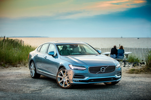
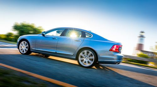
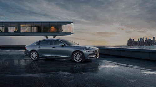
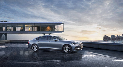
2016 - Volvo S90 at W Lake Dr in Montauk on Long Island, USA

2016 – Volvo S90 at W Lake Dr in Montauk on Long Island, USA 🇺🇸
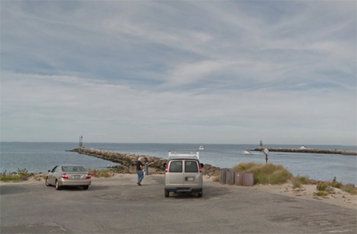
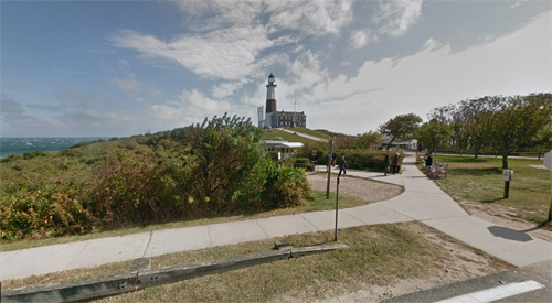
2016 - W Lake Dr in Montauk on Long Island, USA (Google Streetview)

2016 – W Lake Dr in Montauk on Long Island, USA (Google Streetview)

Montauk is a census-designated place (CDP) that roughly corresponds to the hamlet with the same name located in the town of East Hampton in Suffolk County, New York, on the eastern end of the South Shore of Long Island. As of the 2010 United States Census, the CDP population was 3,326.

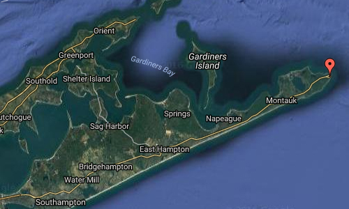
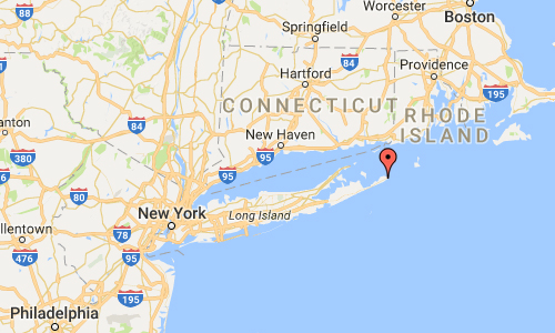
Located at the tip of the South Fork peninsula of Long Island, 118 miles (189 km) east of Midtown Manhattan, Montauk has been used as an Army, Navy, Coast Guard and Air Force base. The Montauk Point Light was the first lighthouse in New York state and is the fourth oldest active lighthouse in the United States.

Montauk is a major tourist destination and has six state parks. It is particularly famous for its fishing, claiming to have more world saltwater fishing records than any other port in the world.[2] Located 20 miles (32 km) off the Connecticut coast, it is home to the largest commercial and recreational fishing fleet in New York state.
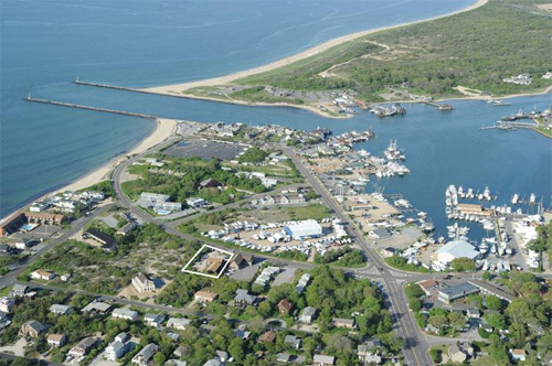
2016-montauk

Montauk is considered a beach resort, using its position at the tip of Long Island to promote itself as “The Living End” or “The Last Resort” and become one of the busiest tourist locations within the town of East Hampton. The small town is host to many restaurants, bed and breakfasts, and hotels, and is a popular vacation spot in the warm weather months. Such accommodations are rarer elsewhere in the Hamptons. Many of the Montauk hotels are only open April through November, some for shorter time periods, while a few serve fishermen and other customers year round, including the famed Gurney’s Inn.

Among the kown persons that have lived in Montauk are Bernard Madoff (investment banker, fraudster, convicted felon, world’s largest Ponzi scheme operator), Toots Thielemans (jazz musician), Rufus Wainwright (singer-songwriter) and Andy Warhol (artist and entrepreneur) who bought the Church Estate in Montauk − also known as Eothen − in 1972.
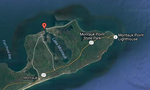
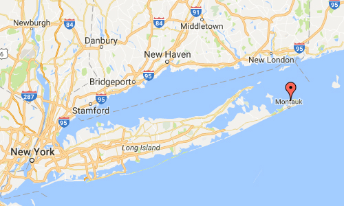
2016-w-lake-dr-in-montauk-maps01

2016-w-lake-dr-in-montauk-maps02

More information at en.wikipedia.org, www.onmontauk.com and www.montauk-online.com.
Volvo Photography Locations

Montauk Point Lighthouse on Long Island – USA 🇺🇸

September 13th, 2016

International Volvo Photo Locations Part 227
Click for Volvo Photography Locations Overview

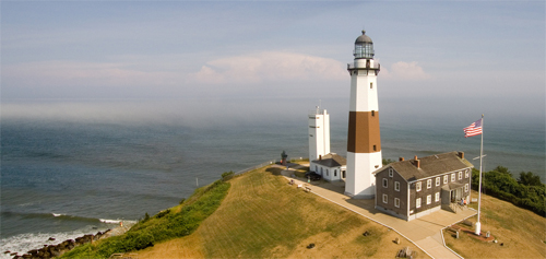
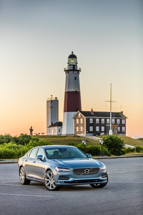
2016 - Volvo S90 at Montauk Point Lighthouse on Montauk Point near East Hampton on Long Island, New York, USA.

2016 – Volvo S90 at Montauk Point Lighthouse on Montauk Point near East Hampton on Long Island, New York, USA 🇺🇸

2016 - Volvo S90 at Montauk Point Lighthouse on Montauk Point near East Hampton on Long Island, New York, USA.

2016 – Volvo S90 at Montauk Point Lighthouse on Montauk Point near East Hampton on Long Island, New York, USA 🇺🇸

2016 – Volvo XC90 at Montauk Point Lighthouse on Long Island USA 🇺🇸

2016 - Montauk Point Lighthouse on Montauk Point near East Hampton on Long Island, New York, USA. (Google Streetview)

2016 – Montauk Point Lighthouse on Montauk Point near East Hampton on Long Island, New York, USA. (Google Streetview)

The Montauk Point Light is a lighthouse located adjacent to Montauk Point State Park, at the easternmost point of Long Island, in the hamlet of Montauk in the Town of East Hampton in Suffolk County, New York. The lighthouse was the first to be built within the state of New York, and was the first public works project of the new United States. It is the fourth oldest active lighthouse in the United States. Long listed on the National Register of Historic Places, in 2012, it was designated as a National Historic Landmark for its significance to New York and international shipping in the early Federal period.

The lighthouse, which is located on Turtle Hill at the easternmost tip of Long Island, at 2000 Montauk Highway, is a privately run museum, and is not part of Montauk Point State Park. Entry to the lighthouse costs $10.00 for an adult and $4.00 per child.

2016-montauk-point-lighthouse

Montauk Light was the first lighthouse in New York State, and is the fourth-oldest active lighthouse in the United States. The tower is 110’6″ high. The current light, installed in July 2001, equivalent to approximately 290,000 candle power, flashes every 5 seconds and can be seen a distance of 17 nautical miles (31 km).

Long Island is an island located just off the northeast coast of the United States and a region within the U.S. state of New York. Stretching east-northeast from New York Harbor into the Atlantic Ocean, the island comprises four counties: Kings and Queens (these form the New York City boroughs of Brooklyn and Queens, respectively) to the west; then Nassau and Suffolk to the east. However, many people in the New York metropolitan area (even those living in Queens and Brooklyn) colloquially use the term “Long Island” (or “The Island”) exclusively to refer to the Nassau-Suffolk county area collectively, which is mainly suburban in character.

Both the longest[8] and the largest island in the contiguous United States, Long Island extends 118 miles (190 km) eastward from New York Harbor to Montauk Point, with a maximum north-to-south distance of 23 miles (37 km) between Long Island Sound and the Atlantic coast.

2016-montauk-point-lighthouse-maps02

2016-montauk-point-lighthouse-maps01

More information at en.wikipedia.org and montauklighthouse.com.
Volvo Photography Locations

Grand Lower Ave in Los Angeles – USA 🇺🇸

September 13th, 2016

International Volvo Photo Locations Part 226
Click for Volvo Photography Locations Overview

2004 – Volvo S60 on Lower Grand Ave in Los Angeles USA 🇺🇸

2004 – Volvo S60 on Lower Grand Ave in Los Angeles, USA 🇺🇸.

2004 – Volvo S60 on Lower Grand Ave in Los Angeles USA 🇺🇸

2008 – Volvo C30 on Lower Gand in Los Angeles USA 🇺🇸

2016 - Volvo S90 on Grand Lower Ave in Los Angeles, USA. (Photography by Patrick Curtet)

2016 – Volvo S90 on Grand Lower Ave in Los Angeles, USA 🇺🇸. (Photography by Marlyne and Patrick Curtet)

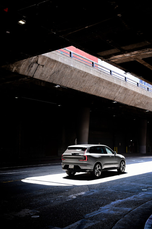
2024 – Volvo EX90 on Lower Grand Ave in Downtown, Los Angeles, California, USA 🇺🇸.

2024 – Volvo EX90 on Lower Grand Ave in Downtown, Los Angeles, California, USA 🇺🇸.

2024 – Volvo EX90 on Lower Grand Ave in Downtown, Los Angeles, California, USA 🇺🇸.

2024 – Volvo EX90 on Lower Grand Ave in Downtown, Los Angeles, California, USA 🇺🇸.

2024 – Volvo EX90 on Lower Grand Ave in Downtown, Los Angeles, California, USA 🇺🇸.

2024 – Volvo EX90 on Lower Grand Ave in Downtown, Los Angeles, California, USA 🇺🇸.

2024 – Volvo EX90 on Lower Grand Ave in Downtown, Los Angeles, California, USA 🇺🇸.

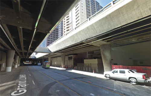
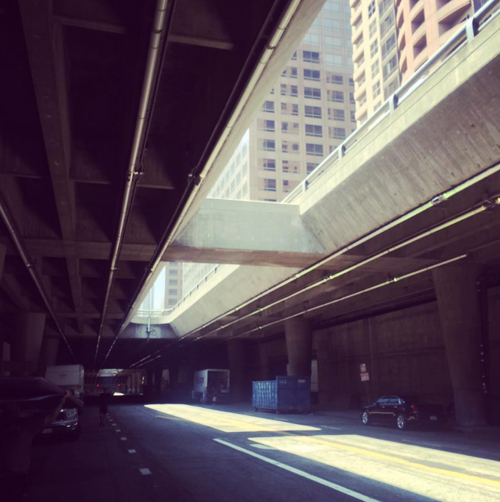
2016 - Lower Grand Ave in Los Angeles, USA (Google Streetview)

2016 – Lower Grand Ave in Los Angeles, USA (Google Streetview)

Grand Lower Ave or Lower Grand is a underground part of Grand Avenue in Downtown Los Angeles, California, USA.
Grand Avenue is a major north-south thoroughfare in Los Angeles, California. In 2007, a $3 billion Grand Avenue Project was proposed to revive Downtown Los Angeles.

Originally called Charity Street (or Calle de la Caridad in Spanish), it is located just east of Hope Street, but contrary to myth, there was never a corresponding Faith Street, representing the trinity of virtue, “Faith, Hope and Charity.” Olive Street (or Calle de Aceituna in Spanish) is situated to the east of Grand Street instead. Charity Street was renamed Grand by the Los Angeles City Council on February 15, 1887.

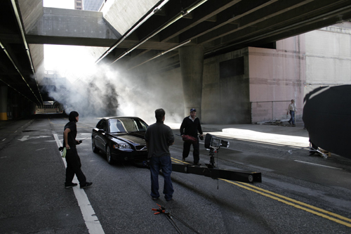
2004 – Behind the scenes with Nigel Harniman shooting the Volvo S60 on Grand Lower Ave in LA USA

2004 – Behind the scenes with Nigel Harniman shooting the Volvo S60 on Grand Lower Ave in LA USA

The Grand Avenue Project is a project currently under development with Grand Park, connecting the Music Center and City Hall, having opened in 2012. The Broad Museum and an apartment tower are under construction which will be linked by a public outdoor plaza.

In the 1984 sci-fi movie classic The Terminator, there was a famous scene with the Terminator chasing through this underground street.

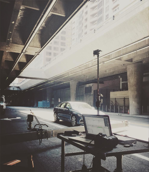
2016  - Making of... during the photoshoot by Patrick and Marlyne Curtet.

2016 – Making of… during the photoshoot by Patrick and Marlyne Curtet.

In Entourage, the boys are back for even more designer GQ style, beautiful women, and Hollywood power lunches. And that takes place with Vincent Chase (Adrian Grenier) and Ari (Jeremy Piven) all over LA.. like Grand Avenue. It’s a major north-south thoroughfare in Los Angeles, California. Scroll down to see more film locations identifed from Entourage.

2016  - Making of... during the photoshoot by Patrick and Marlyne Curtet.

2016 – BTS (Behind the scenes) with Patrick and Marlyne Curtet.

In the movie “The Soloist” Jamie Fox plays a homeless man who lives on the streets of Los Angeles. Scenes of this movie were shot in this underground street. In the movie Lower Grand was a busy main street, normally the is empty. Hardly anyone goes down to Lower Grand. Usually it’s only the the business men in their nice cars who are going into the parking garages.

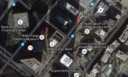
2016-lower-grand-ave-in-la-maps02

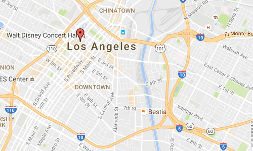
2016-lower-grand-ave-in-la-maps01

More information at en.wikipedia.org and www.ladowntownnews.com.
Volvo Photography Locations

Bixby Creek Bridge in Monterey – USA 🇺🇸

September 11th, 2016

International Volvo Photo Locations Part 225
Click for Volvo Photography Locations Overview

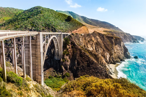
2017 – Volvo XC60 on Bixby Creek Bridge on Cabrillo Hwy south of Carmel Highlands in Monterey California USA 🇺🇸

2017 – Volvo XC60 on Bixby Creek Bridge on Cabrillo Hwy south of Carmel Highlands in Monterey California USA 🇺🇸 (detail)

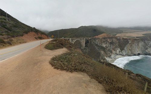
2017 – Bixby Creek Bridge in Monterey USA (Google Streetview)

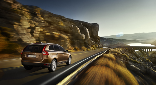
2009 - Volvo XC60 at Bixby Creek Bridge near Monterey in California, USA.

2009 – Volvo XC60 at Bixby Creek Bridge near Monterey in California, USA.

Henrik Ottosson - 2009 Volvo XC60

2009 – Volvo XC60 (Photography by Henrik Ottosson)

2016 - Bixby Creek Bridge on Cabrillo Hwy south of Carmel Highlands in Monterey, California, USA (Google Streetview)

2016 – Bixby Creek Bridge on Cabrillo Hwy south of Carmel Highlands in Monterey, California, USA (Google Streetview)

2016 - Bixby Creek Bridge on Cabrillo Hwy south of Carmel Highlands in Monterey, California, USA (Google Streetview)

2016 – Bixby Creek Bridge on Cabrillo Hwy south of Carmel Highlands in Monterey, California, USA (Google Streetview)

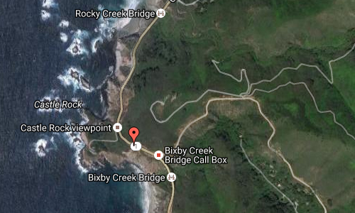
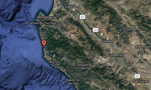
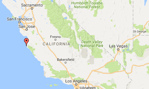
Bixby Creek Bridge, also known as Bixby Bridge, on the Big Sur coast of California, is one of the most photographed bridges in California due to its aesthetic design, “graceful architecture and magnificent setting.” It is a reinforced concrete open-spandrel arch bridge. The bridge is 190 km south of San Francisco and 21 km south of Carmel in Monterey County along State Route 1.

Prior to the opening of the bridge in 1932, residents of the Big Sur area were virtually cut off during winter due to the often impassable Old Coast Road that led 18 km inland. At its completion, the bridge was built under budget for $199,861 (equivalent to $3.5 million in 2015) and was the longest concrete arch span at 98 m on the California State Highway System. It is one of the tallest single-span concrete bridges in the world.

2016-bixby-creek-bridge

The bridge is “one of the most photographed features on the American West Coast” due to its pleasing aesthetic design and because of its location along the scenic Central Coast of California, and has frequently been used in automobile commercials. The bridge has become a regional landmark and was used in the opening sequences of the television series Then Came Bronson, the films Play Misty for Me and The Sandpiper. The bridge was also in the seventeenth episode of the first season of the NBC’s show Heroes (“Company Man”), even though the scene was set in Texas. The bridge figures prominently in posters and other publicity material of the Big Sur International Marathon. An outline image of the bridge forms the logo for Central Coast ABC, the area’s ABC Television Network affiliate on KSBW-TV (Channel 8.2).

2016-bixby-creek-bridge-maps03

2016-bixby-creek-bridge-maps02

2016-bixby-creek-bridge-maps01

More information at en.wikipedia.org and www.visitcalifornia.com.
Volvo Photography Locations

Westlake Yacht Club on Lindero Canyon Rd in Westlake – USA 🇺🇸

September 11th, 2016

International Volvo Photo Locations Part 224
Click for Volvo Photography Locations Overview

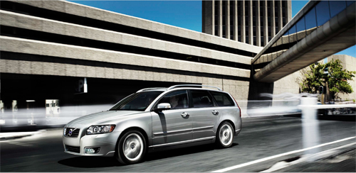
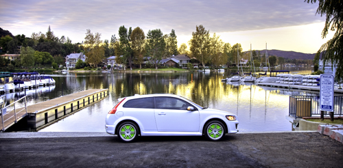
2007 - Volvo C30 ReCharge Concept at Westlake Yacht Club on Lindero Canyon Rd in Westlake Village, California

2007 – Volvo C30 ReCharge Concept at Westlake Yacht Club on Lindero Canyon Rd in Westlake Village, California, USA 🇺🇸

2016 - Westlake Yacht Club on on Lindero Canyon Rd in Westlake Village, California, USA (Google Streetview)

2016 – Westlake Yacht Club on on Lindero Canyon Rd in Westlake Village, California, USA (Google Streetview)

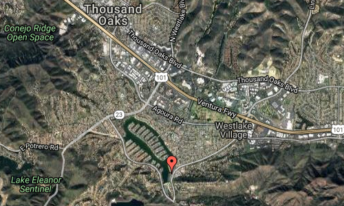
Westlake Yacht Club is located at the Landing on the Lake on Lindero Canyon Rd in Westlake Village. WYC promotes, sailing and racing for adults and children.

Founded March 11, 1969 — The Westlake Yacht Club (WYC) is a private club owned and operated by its Members. Membership is open to the general public. Most Members live in the surrounding communities of Westlake Village, Thousand Oaks, Agoura Hills and Calabasas. WYC is a sailing club with strong and varied social activities. It is not necessary for you to live on the lake or own a boat to become a member. Westlake Yacht Club has and offers reciprocity with other member Yacht Clubs. WYC was the Southern California Yachting Association, Senior Class Yacht Club of the Year in 1998.

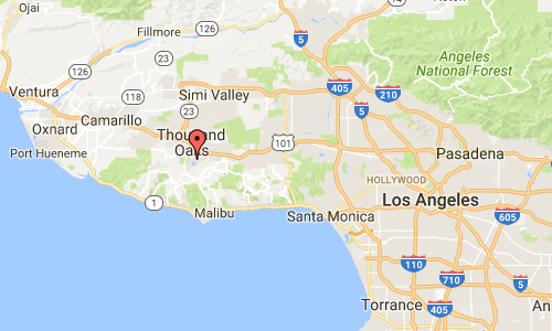
Westlake Village is a planned community that straddles the Los Angeles and Ventura county line. The eastern portion is the incorporated city of Westlake Village, located on the western edge of Los Angeles County, California. The city, located in the region known as the Conejo Valley, encompasses half of the area surrounding Westlake Lake, and small neighborhoods primarily south of U.S. Route 101 and east of La Venta Drive. The headquarters of the Dole Food Company is also located in Westlake Village.

The western portion of Westlake Village is a community, within the city limits of Thousand Oaks, in Ventura County. Built across the county line as a planned development, residents recognize that the community of Westlake Village is not limited to the incorporated city in Los Angeles County, but encompassing the entire area surrounding the man made lake.

The original community was known simply as “Westlake”. Roughly two-thirds of it was annexed by the city of Thousand Oaks in two portions, in 1968 and 1972. In 1981, the remaining third eventually incorporated as the City of Westlake Village.

2016-westlake-yacht-club-in-westlake-village-maps02

2016-westlake-yacht-club-in-westlake-village-maps01

More information at westlakeyc.org, en.wikipedia.org and www.westlake-lake.com.
Volvo Photography Locations

Strand St in Cape Town – SA 🇿🇦

September 11th, 2016

International Volvo Photo Locations Part 223
Click for Volvo Photography Locations Overview

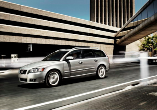
2012 - Volvo V50 at Strand St in Cape Town, South Africa

2012 – Volvo V50 at Strand St in Cape Town, South Africa 🇿🇦.

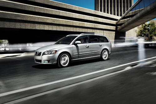
2012 – Volvo V50 at Strand St in Cape Town, South Africa 🇿🇦. Photography by Marc Trautmann!

2012 – Volvo V50 at Strand St in Cape Town, South Africa 🇿🇦. Photography by Marc Trautmann!

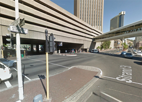
2016 - Strand Street in Cape Town in South Africa (Google Streetview)

2016 – Strand Street in Cape Town in South Africa (Google Streetview)

2016 - Strand Street in Cape Town in South Africa (Google Streetview)

2016 – Strand Street in Cape Town in South Africa (Google Streetview)

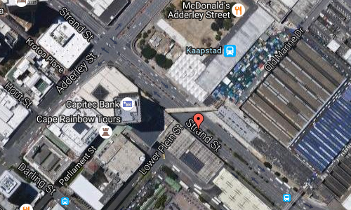
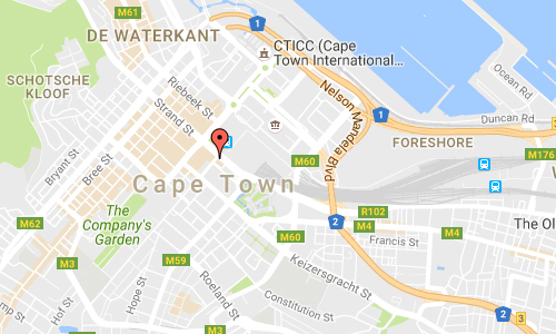
Strand Street is one of the main streets in the central business district of Cape Town, South Africa. It runs northwest-southeast through the centre from Green Point to Woodstock, passing the Golden Acre shopping centre, the Cape Town railway station, the Evangelical Lutheran Church, the Koopmans-de Wet House, and the Castle of Good Hope. Originally, in the vicinity of the Castle, Strand Street ran along the Table Bay shore – “strand” being the Dutch and Afrikaans word for “beach” – but land reclamation to create the Foreshore and the modern Port of Cape Town has moved the shoreline about a kilometre to the northeast.

East of the city centre, Strand Street passes under the N2 freeway, to which it is connected by ramps. It continues as New Market Street and then Albert Street, eventually becoming Voortrekker Road, the original road route from Cape Town to Bellville and the interior. West of the centre it becomes High Level Road to Sea Point.

2016-strand-st-in-cape-town-sa-maps01

2016-strand-st-in-cape-town-sa-maps02

More information at en.wikipedia.org and www.capetown.travel.

Volvo Photography Locations

Bank Street in London – UK

September 11th, 2016

International Volvo Photo Locations Part 222
Click for Volvo Photography Locations Overview

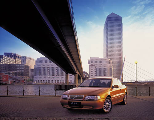
2002 - Volvo C70 at Bank Street at Canary Wharf in London, UK.

2002 – Volvo C70 at Bank Street at Canary Wharf in London, UK.

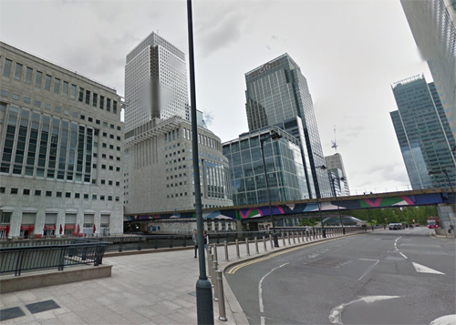
2016 - Bank Street at Middle Dock with view on Reuters Building at Canary Wharf in London, UK (Google Streetview)

2016 – Bank Street at Middle Dock with view on Reuters Building at Canary Wharf in London, UK (Google Streetview)

2016 - Bank Street at Middle Dock with view on Reuters Building at Canary Wharf in London, UK (Google Streetview)

2016 – Bank Street at Middle Dock with view on Reuters Building at Canary Wharf in London, UK (Google Streetview)

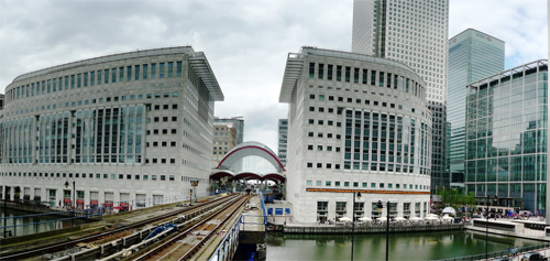
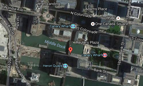
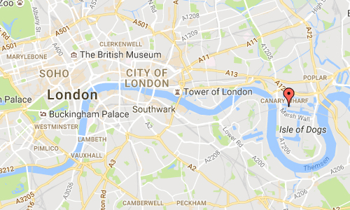
This location is on Bank Street at Middle Dock, in front of the current 25 Bank Street building, the European HQ of J.P. Morgan & Co., just between the Heron Quays station and the Canary Wharf station of the Jubilee line. The building shown in the photo with the C70 are the Reuters Building and the One Canada Square building at Canary Wharf in London, UK.

Canary Wharf is a major business district located in Tower Hamlets, East London. It is one of the United Kingdom’s two main financial centres – along with the traditional City of London – and contains many of Europe’s tallest buildings, including the second-tallest in the UK, One Canada Square.

Canary Wharf is located on the West India Docks on the Isle of Dogs.

From 1802 to 1939, the area was one of the busiest docks in the world. After the 1960s, the port industry began to decline, leading to all the docks being closed by 1980. Of the three main docks of the West India Docks, the Canary Wharf estate occupies part of the north side and the entire south side of the Import Dock (North Dock), both sides of the Export Dock (Middle Dock) and the north side of the South Dock.

Canary Wharf itself takes its name from No. 32 berth of the West Wood Quay of the Import Dock. This was built in 1936 for Fruit Lines Ltd, a subsidiary of Fred Olsen Lines for the Mediterranean and Canary Islands fruit trade. At their request, the quay and warehouse were given the name Canary Wharf.

After the docks closed in 1980, the British Government adopted policies to stimulate redevelopment of the area, including the creation of the London Docklands Development Corporation in 1981 and the granting of Urban Enterprise Zone status to the Isle of Dogs in 1982.

The Canary Wharf of today began when Michael von Clemm, former chairman of Credit Suisse First Boston (CSFB), came up with the idea to convert Canary Wharf into a back office.

Initially, the City of London saw Canary Wharf as an existential threat. It modified its planning laws to expand the provision of new offices in the City of London, for example, creating offices above railway stations (Blackfriars) and roads (Alban Gate). The resulting oversupply of office space contributed to the failure of the No 1 Canada Square project.

In 1997, some residents living on the Isle of Dogs launched a lawsuit against Canary Wharf Ltd for private nuisance because the tower interfered with television signals. The residents lost the case.

2016-bank-street-in-london-mpas02

2016-bank-street-in-london-mpas01

More information at en.wikipedia.org, group.canarywharf.com and www.nycgovparks.org.

Volvo Photography Locations

Silverfallet in Björkliden 🇸🇪

September 7th, 2016

Volvo Photo Locations Part 226
Historic Volvo Photography Locations Overview

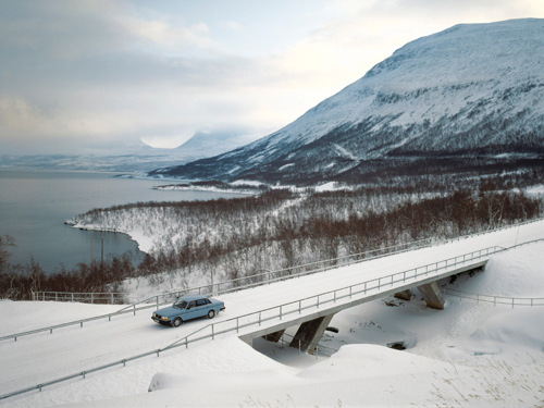
1982 - Volvo 244 near Lapporten on the E10 near in Björkliden

1982 – Volvo 244 near Lapporten on the E10 near Björkliden

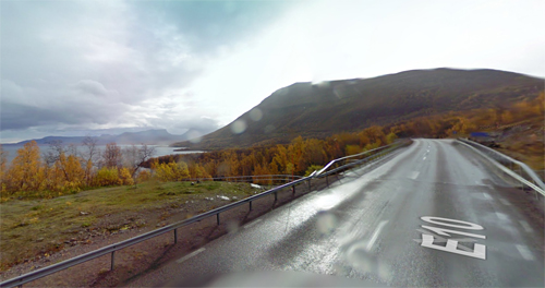
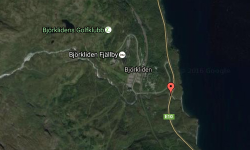
2016 - Bridge on E10 near Silverfallet in Björkliden (Google Streetview)

2016 – Bridge on E10 near Silverfallet in Raksjåkka in Björkliden (Google Streetview)

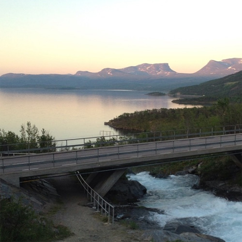
22016 - Bridge on E10 near Silverfallet in Raksjåkka in Björkliden with Lapporten in the background (Instagram)

2016 – Bridge on E10 near Silverfallet in Raksjåkka in Björkliden with Lapporten in the background (Instagram)

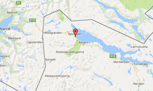
Silverfallet, at Rakkasjokk near Brörkliden, is a beautiful waterfall leading to Tornetrask. A wide walking path can be followed through a beautiful birch forest. The last bit down towards the waterline the path narrows and becomes quite steep. It is worth going all the way down when you get there, for the finest views of the waterfall. And in addition, you get a fabulous view towards Lapporten.

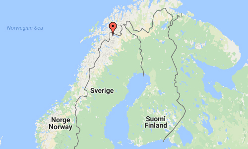
Lapporten or Tjuonavagge (“Goose Valley”) is a U-shaped valley in Lapland in northern Sweden, one of the most familiar natural sights of the mountains there. The valley is bounded to the southwest of the mountain Nissuntjårro (1,738 m) and in the northeast of Tjuonatjåkka (1,554 m). In the middle of the valley lies Lake Čuonjájávri, 950 metres above sea level. The terrain is easy to walk but has no marked trail. Lapporten is in the Nissuntjårro Natura 2000 site.

2016-silverfallet-in-bjorkliden-maps02
2016-silverfallet-in-bjorkliden-maps01
2016-silverfallet-in-bjorkliden-maps00

More information at sv.wikipedia.org and www.kirunalapland.se.

Volvo Photo Locations

Brooklyn Bridge Park in New York – USA 🇺🇸

September 5th, 2016

International Volvo Photo Locations Part 221
Click for Volvo Photography Locations Overview

2016 - Volvo S90 in Brooklyn Bridge Park in Brooklyn Heights in New York, USA.

2016 – Volvo S90 in Brooklyn Bridge Park in Brooklyn Heights in New York, USA 🇺🇸

2016 - Volvo S90 in Brooklyn Bridge Park in Brooklyn Heights in New York, USA.

2016 – Volvo S90 in Brooklyn Bridge Park in Brooklyn Heights in New York, USA 🇺🇸

2016 – Volvo S90 in Brooklyn Bridge Park in Brooklyn Heights in New York USA 🇺🇸

2016 - Volvo S90 in Brooklyn Bridge Park in New York, USA.

2016 – Volvo S90 in Brooklyn Bridge Park in New York, USA 🇺🇸

2016 - Volvo S90 in Brooklyn Bridge Park in New York.

2016 – Volvo S90 in Brooklyn Bridge Park in New York, USA 🇺🇸.

2016 - Brooklyn Bridge Park in Brooklyn Heights in New York, USA (Google Streetview)

2016 – Brooklyn Bridge Park in Brooklyn Heights in New York, USA (Google Streetview)

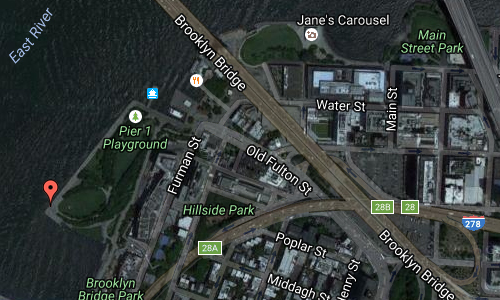
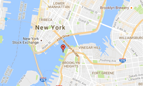
Brooklyn Bridge Park is an 85-acre park on the Brooklyn side of the East River in New York City. The park has revitalized 2.1 km of Brooklyn’s post-industrial waterfront from Atlantic Avenue in the south, under the Brooklyn Heights Promenade and past the Brooklyn Bridge, to Jay Street north of the Manhattan Bridge. The site includes Brooklyn Piers 1–6, the historic Fulton Ferry Landing, and the preexisting Empire–Fulton Ferry and Main Street Parks. Two Civil War-era structures, Empire Stores and the Tobacco Warehouse, will also be integrated into the park.

Brooklyn Bridge Park is overseen by Brooklyn Bridge Park Corporation, a not-for-profit entity responsible for the planning, construction, maintenance, and operation of the park. The Corporation’s mission is to “create and maintain a world class park that is a recreational, environmental and cultural destination enjoyed by residents of, and visitors to, New York City.

Pier 1 was the first section of parkland opened in March 2010. The pier is Brooklyn Bridge Park’s largest and is the only one constructed on a landfill, rather than a pile-supported structure. The area includes two landscaped lawns overlooking the Brooklyn Bridge and New York Harbor, a native salt marsh, a waterfront promenade, a granite prospect, a playground, and concessionaires. Two development sites, slated to contain a 200-room hotel, 159 residential units, as well as restaurants and other public/private spaces, are located along Furman Street and are scheduled to open by Fall 2015. The East River Ferry is also accessible on Pier 1.

2016 - Brooklyn Bridge Park Maps02

2016 - Brooklyn Bridge Park Maps01

More information at en.wikipedia.org, www.brooklynbridgepark.org and www.nycgovparks.org.

Volvo Photography Locations

Björksund Slott in Tystberga 🇸🇪

September 4th, 2016

Volvo Photo Locations Part 225
Historic Volvo Photography Locations Overview

2015 - Volvo XC90

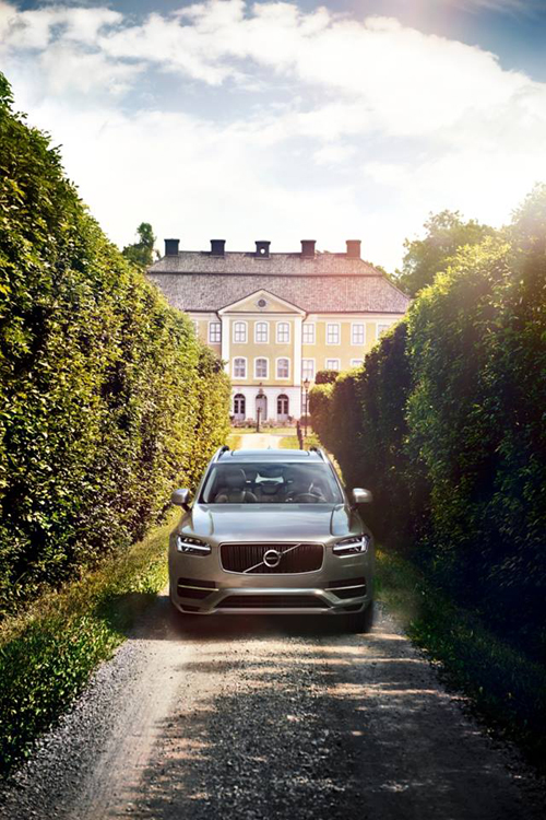
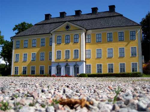
2015 – Volvo XC90, at Björksund Slott in Tystberga near Sibbofjärden, Nyköping, Sweden

2016 - Björksund Slott in Tystberga (Google Streetview)

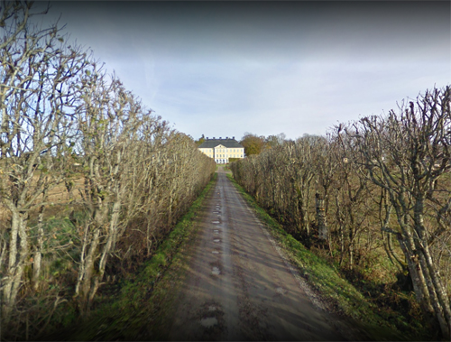
2016 – Björksund Slott in Tystberga (Google Streetview)

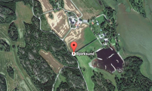
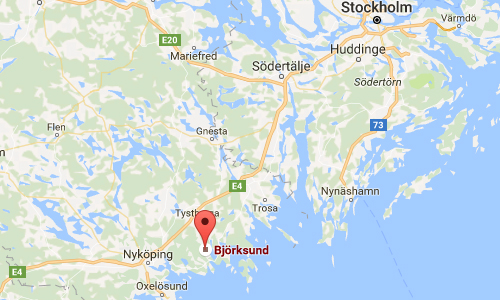
Björksund Slott is a castle in Tystberga, Nyköpings kommun, Södermanland, south of Stockholm.
Björksund located at Sibbofjärden, northeast of Nyköping. The estate covers 4,700 hectares and large areas of the archipelago. It also manages a number of properties in Nyköping. The main building was built in the Baroque style, designed by Joseph Gabriel Destain. Additions in the 1740s were by Carl Hårleman.

2016 - Björksund Slott in Tystberga 01

Björksund at first belonged to the Grip family, but came in the late Middle Ages through marriage to the Privy Councilor Göran Eriksson Gyllenstierna of Fågelvik. The estate remained in his family until 1776, when it partly by purchase passed to Count Carl Gabriel Mörner, heir to the Privy Council and the Marshal of the Realm Göran Gyllenstierna. As of 2014 the owner was Nils Mörner.

2016 - Björksund Slott in Tystberga Maps02

2016 - Björksund Slott in Tystberga Maps01

More information at sv.wikipedia.org and www.bjorksund.com.

Volvo Photo Locations