
International Volvo Photo Locations Part 85

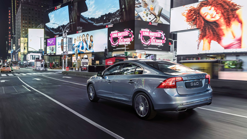
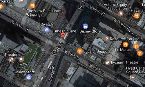
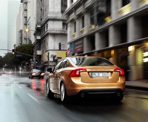
2016 – Volvo S60L on Times Square and 7th Ave in New York City, USA 🇺🇸.

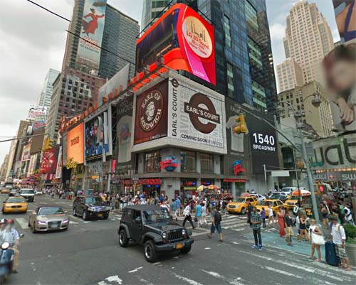
2017 – Times Square and 7th Avenue in New York City (Google Streetview)
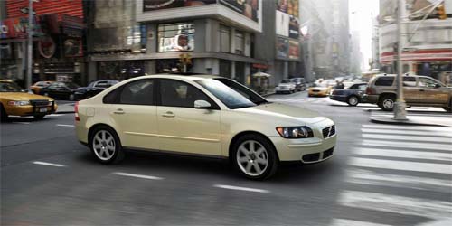
2004 – Volvo S40 on Times Square and 7th Ave in New York City, USA 🇺🇸.
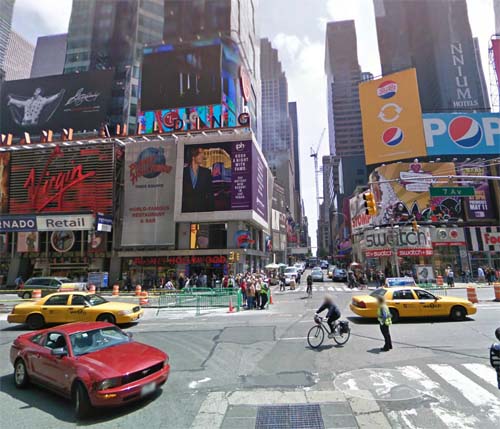
2013 – Corner of 7th Avenue, W45St, Broadway and Times Square in New York, USA (Google Streetview)
2013 – Corner of 7th Avenue, W45St, Broadway and Times Square in New York, USA (Google Streetview)
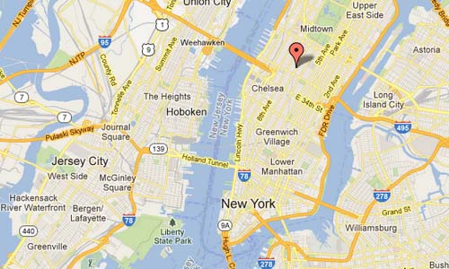
Times Square is a major commercial intersection in Midtown Manhattan, New York City, at the junction of Broadway and Seventh Avenue and stretching from West 42nd to West 47th Streets. Times Square – iconified as “The Crossroads of the World”, “The Center of the Universe”, and the “The Great White Way” – is the brightly illuminated hub of the Broadway theater district, one of the world’s busiest pedestrian intersections, and a major center of the world’s entertainment industry.
According to Travel + Leisure magazine’s October 2011 survey, Times Square is the world’s most visited tourist attraction, hosting over 39 million visitors annually. Approximately 300,000 people pass through Times Square daily.
The building on the left is the Bertelsmann Building, originally known as 1540 Broadway, a 42-story, 223 m office tower in Times Square in Manhattan, New York City, standing at West 45th Street. The building is the North American headquarters of Bertelsmann.
Started in 1989 and finished in 1990, the tower is one of the few in Times Square to contain class A office space. Also found in the tower is Planet Hollywood’s first Official All Star Café, and also there’s Mac Flagship, Disney Store, and Forever 21.
In the 1990s the Bertelsmann subsidiary of Random House looked to build a skyscraper across 45th Street from its parent and be connected to it via a neon-lighted bridge across 45th Street connecting them. When the deal fell through it built the Random House Tower 10 blocks uptown.
Loew’s State Theatre (1921) formerly occupied the site of the Bertelsmann Building. Before Loew’s, the Bartholdi Inn (1899), then New York’s best-known theatrical boarding house, was there.
More information at en.wikipedia.org


 Posts
Posts